MP4 |视频:h264,1280×720 |音频:AAC,44.1 KHz,2 Ch
技能水平:初级|流派:电子学习|语言:英语|时长:4h 11m |大小:936 MB
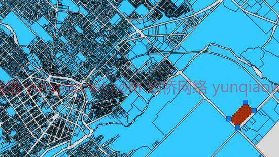
AutoCAD Map 3D丰富了您的地图数据,使其更加可视化和智能。借助AutoCAD 2022,地图3D工具集免费提供,为每个AutoCAD绘图带来智能地理信息系统(GIS)。参加本课程的GIS顾问和培训师Gordon Luckett,他展示了如何使用这个强大的程序来编辑现有AutoCAD图形中的数据,并连接到外部数据库以获得新的信息源。他还展示了如何连接、格式化和分析地理信息系统数据,并将您的数据和最终地图发布到基于网络的地图册中。使用AutoCAD Map 3D可以实现所有这些以及更多功能。开始观看,并了解如何将地理数据的力量带到您的DWG中。
MP4 | Video: h264, 1280×720 | Audio: AAC, 44.1 KHz, 2 Ch
Skill Level: Beginner | Genre: eLearning | Language: English | Duration: 4h 11m | Size: 936 MB
AutoCAD Map 3D enriches your map data, making it more visual and intelligent. With AutoCAD 2022, the Map 3D toolset ships free, bringing an intelligent geographic information system (GIS) to every AutoCAD drawing. Join GIS consultant and trainer Gordon Luckett in this course, where he shows how to use this powerful program to edit data within existing AutoCAD drawings and connect to outside databases for new sources of information. He also shows how to connect to, style, and analyze GIS data, and publish your data and final maps to a web-based map book. All of this and more is possible with AutoCAD Map 3D. Start watching, and learn how to bring the power of geodata to your DWGs.
1、登录后,打赏30元成为VIP会员,全站资源免费获取!
2、资源默认为百度网盘链接,请用浏览器打开输入提取码不要有多余空格,如无法获取 请联系微信 yunqiaonet 补发。
3、分卷压缩包资源 需全部下载后解压第一个压缩包即可,下载过程不要强制中断 建议用winrar解压或360解压缩软件解压!
4、云桥CG资源站所发布资源仅供用户自学自用,用户需以学习为目的,按需下载,严禁批量采集搬运共享资源等行为,望知悉!!!
5、云桥CG资源站,感谢您的关注与支持!